Bear Creek Regional Park, Colorado Springs - Trail Information (including photos, videos & reviews)
Set in the rolling foothills of Pikes Peak, on the west side of Colorado Springs, Bear Creek Regional Park offers a pleasant escape within the city limits.
This 545-acre regional park supports picnic pavilions, playing fields, tennis courts, playgrounds, archery range, horseshoe pit, volleyball, basketball courts, and dog park. Additionally, 10+ miles of multi-purpose, non-motorized trails wind through the park.
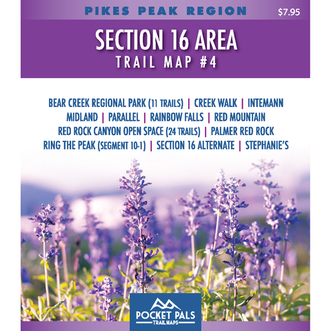
The Bear Creek Regional Park trail network (consisting of 11 trails) is included on POCKET PALS Trail Map #4 of the Pikes Peak Region Series. The other trails on Map #4 include Intemann, Palmer, Parallel, Red Mountain, Red Rock Canyon Open Space (24 trails), and Section 16 / Red Rock Loop, Ring the Peak and Stephanie's.
All Pocket Pals Trail Maps offer very detailed information for each trail including: trail distances, allowed trail uses, difficulty levels, elevation profiles, total ascent/descent, directions to trailhead, trailhead longitude and latitude, and waypoints (landmarks along each trail).


Pocket Pals Trail Maps