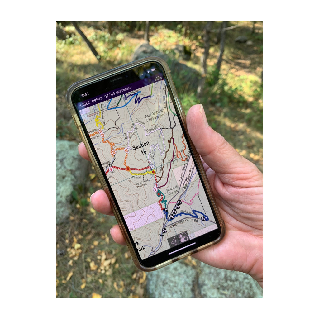
Either Way...Your Maps Are Always in Your Pocket

DIGITAL

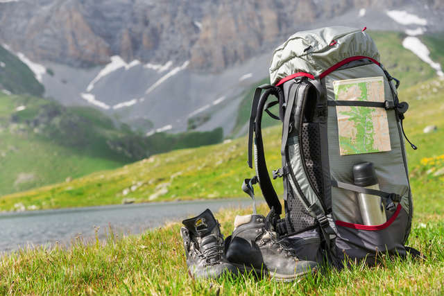
PAPER (Waterproof, Tear-Resistant)
Colorado Trail Maps That Help Keep You on Track


So Much More Then Just a Line on a Map ... We Provide Waypoints and Much More

We identify waypoint locations on the map
Waypoints are landmarks along the trails such as overlooks, structural ruins, trail intersections, stream crossings, etc. In addition, we also show contour lines, shaded relief, roads, hydrology, public land boundaries, the other trails in the vicinity, points of interest, and a longitude/latitude grid.
*This level of detail can be found on most of our maps

We provide waypoint descriptions in our trail details
We give the distance and description for each waypoint (landmarks along the trails). In addition, we also provide information on the allowed uses for each trail, the trail difficulty rating, trail length, total ascent/descent, directions to the trailhead and parking area, the longitude & latitude for the parking area, and elevation profiles.
*This level of detail can be found on most of our maps
Find Out More About Pocket Pals Trail Maps
Outdoor recreation podcasters provide excellent insight into what makes
Pocket Pals Trail Maps
so unique.


Created Locally by Locals
COLORADO OWNED AND OPERATED


Maps as Mobile as You Are
When you use our digital Geo-PDF maps in conjunction with a navigation app you will be able to identify your current location directly on the map (look for the blue dot)
These maps can be used offline.