


Section 16 Area Trail Map - Pikes Peak Region Map #4
Explore popular trails on the west side of Colorado Springs with Pocket Pals Trail Map #4.
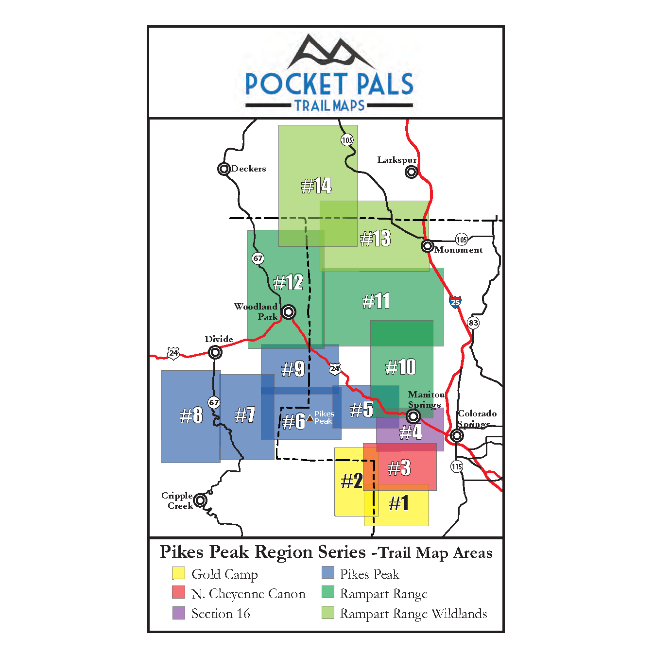
This map covers the Section 16 area, including trails in Red Rock Canyon Open Space, Bear Creek Regional Park, Bear Creek Canyon Park, and the southern portion of Manitou Springs.
The area offers a varied network of trails for hiking, mountain biking, trail running, and other outdoor recreation, with convenient access from Colorado Springs and Manitou Springs.
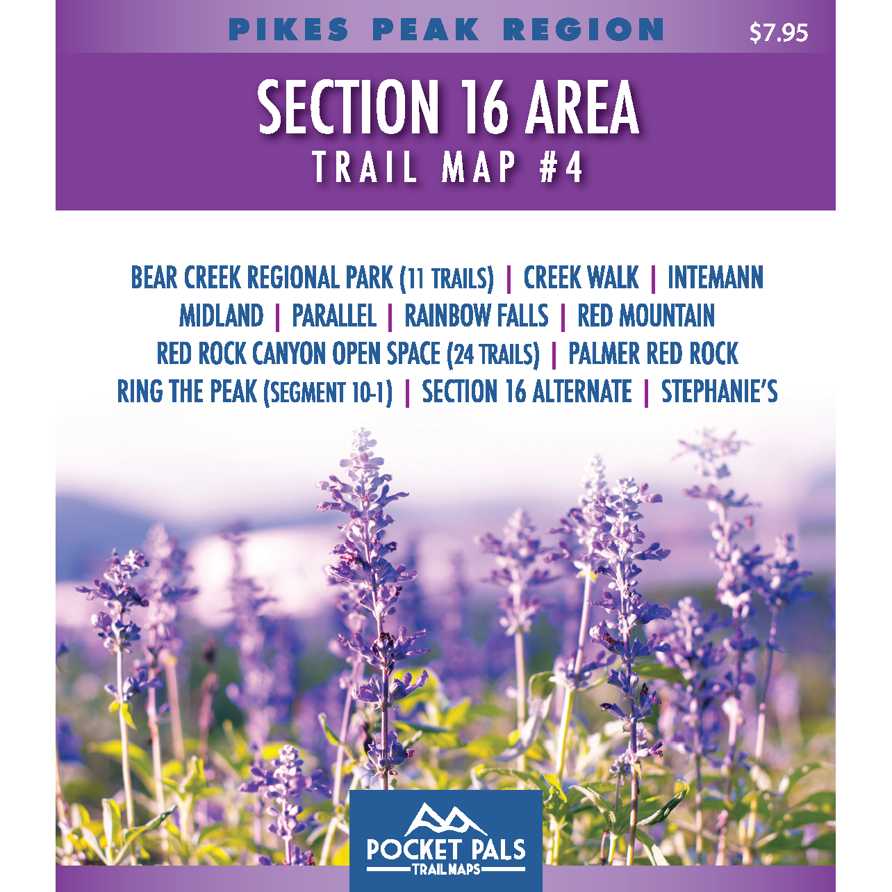
Map #4: Section 16 Area includes the trails listed below. Click any underlined trail name to learn more about this trail.
-
Bear Creek Regional Park (11Trails)
- Creekwalk
- Midland
- Parallel
- Rainbow Falls
-
Red Mountain
-
Red Rock Canyon Open Space (24 Trails)
- Ring the Peak (Segment 10-1)
-
Section 16 Alternate
-
Stephanie's
Note: RTP = Ring the Peak Trail
Available formats include:
Paper Map – Pocket-sized, waterproof, tear-resistant, durable, and easy to carry on the trail.
Digital Map for the Pocket Pals Map Viewer – Designed for offline use after download, with the ability to view your current location on the map when using your phone’s location services.
