
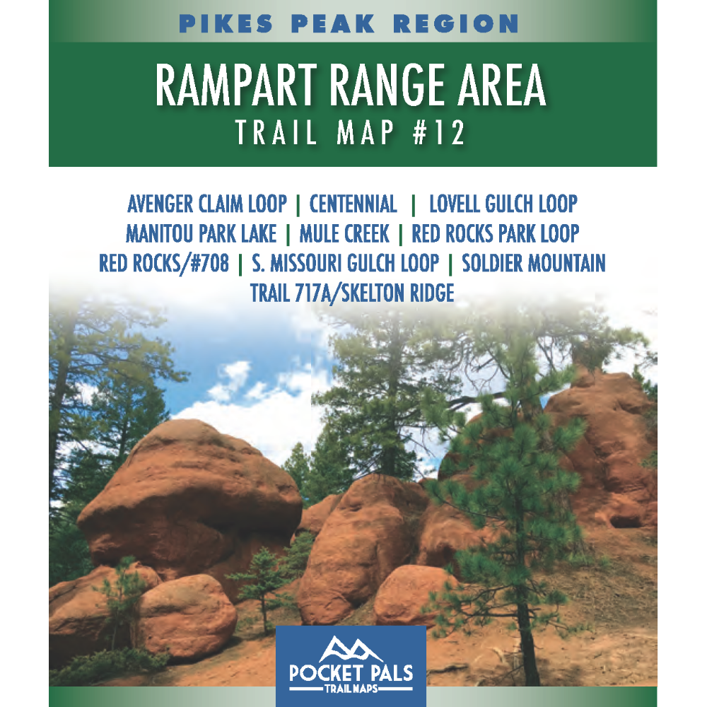


Rampart Range Area Trail Map - Pikes Peak Region, Map #12
Trail Map #12 covers a scenic network of trails in Teller County near Woodland Park, Colorado. Set among the forests, ridgelines, meadows, and rolling mountain terrain of the Pike National Forest region, this area offers a wide variety of opportunities for exploring Colorado’s central Front Range.
This detailed trail map is an excellent resource for hikers, trail runners, mountain bikers, equestrians, and other outdoor recreation users seeking help with route planning and trail navigation. It is also useful for wildlife watchers, photographers, and visitors exploring the area’s back roads and public lands. Because permitted activities can vary by trail, users should review the designated trail-use information shown on the map before beginning their trip.
Whether you are planning a short outing, a longer backcountry route, or simply looking for new places to explore near Woodland Park, Trail Map #12 provides the detailed information needed to navigate the area with greater confidence.
Map #12 Rampart Range Area includes the trails listed below. Click any underlined trail name to learn more about that trail.
- Avenger Claim Loop
- Centennial
- Lovell Gulch Loop
- Manitou Park Lake
- Mule Creek
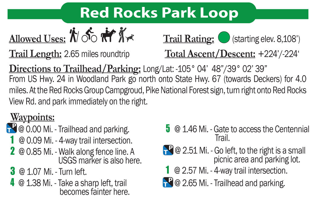
- Red Rocks Park Loop
- Red Rocks/#708
- S. Missouri Gulch Loop
- Soldier Mountain
- Trail 717A / Skelton Ridge
Available formats include:
Paper Map – Pocket-sized, waterproof, tear-resistant, durable, and easy to carry on the trail.
Digital Map for the Pocket Pals Map Viewer – Designed for offline use after download, with the ability to view your current location on the map when using your phone’s location services.
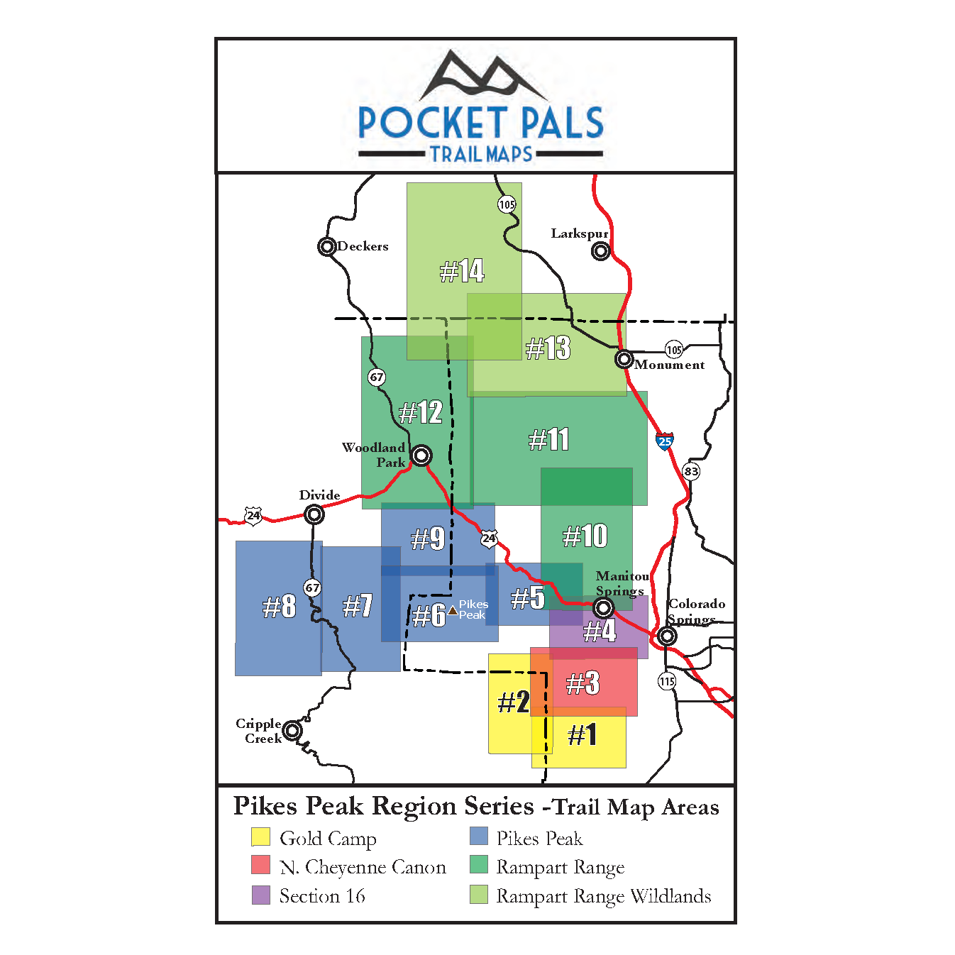
To see an overview map of our Pikes Peak Region series, CLICK HERE.
To learn more about our digital maps and Pocket Pals MapViewer, CLICK HERE.
