
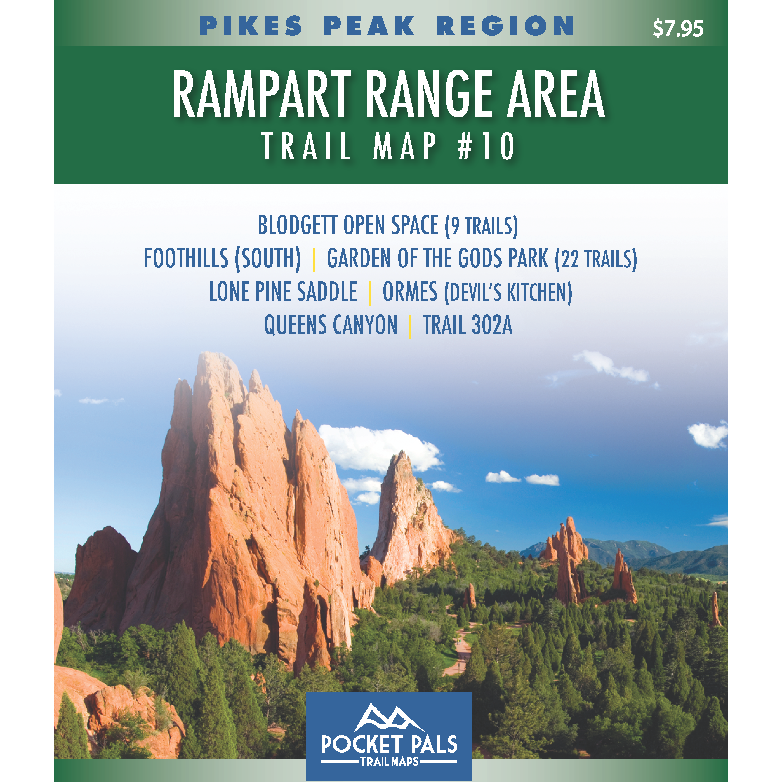


Rampart Range Area - Pikes Peak Region, Map #10
Trail Map #10 covers many of the most popular trails and open spaces in northwest Colorado Springs, including Garden of the Gods Park, Blodgett Open Space, and other nearby trail systems.
The area features a diverse mix of dramatic red-rock formations, foothills, open meadows, scrub oak, and forested mountain terrain, with excellent views of Pikes Peak and the surrounding Front Range.
This map is especially useful for hikers, trail runners, mountain bikers, equestrians, families, photographers, and visitors who want to explore the Garden of the Gods area and the trails along the western edge of Colorado Springs. It includes options ranging from short, easy walks and scenic outings to longer and more challenging foothills routes.
Map #10, Rampart Range Area, includes the trails listed below. Click on any underlined trail name to learn more about that trail.
- Blodgett Open Space (12 Trails)
- Foothills (South)
- Garden of the Gods Park (22 Trails)
- Lone Pine Saddle
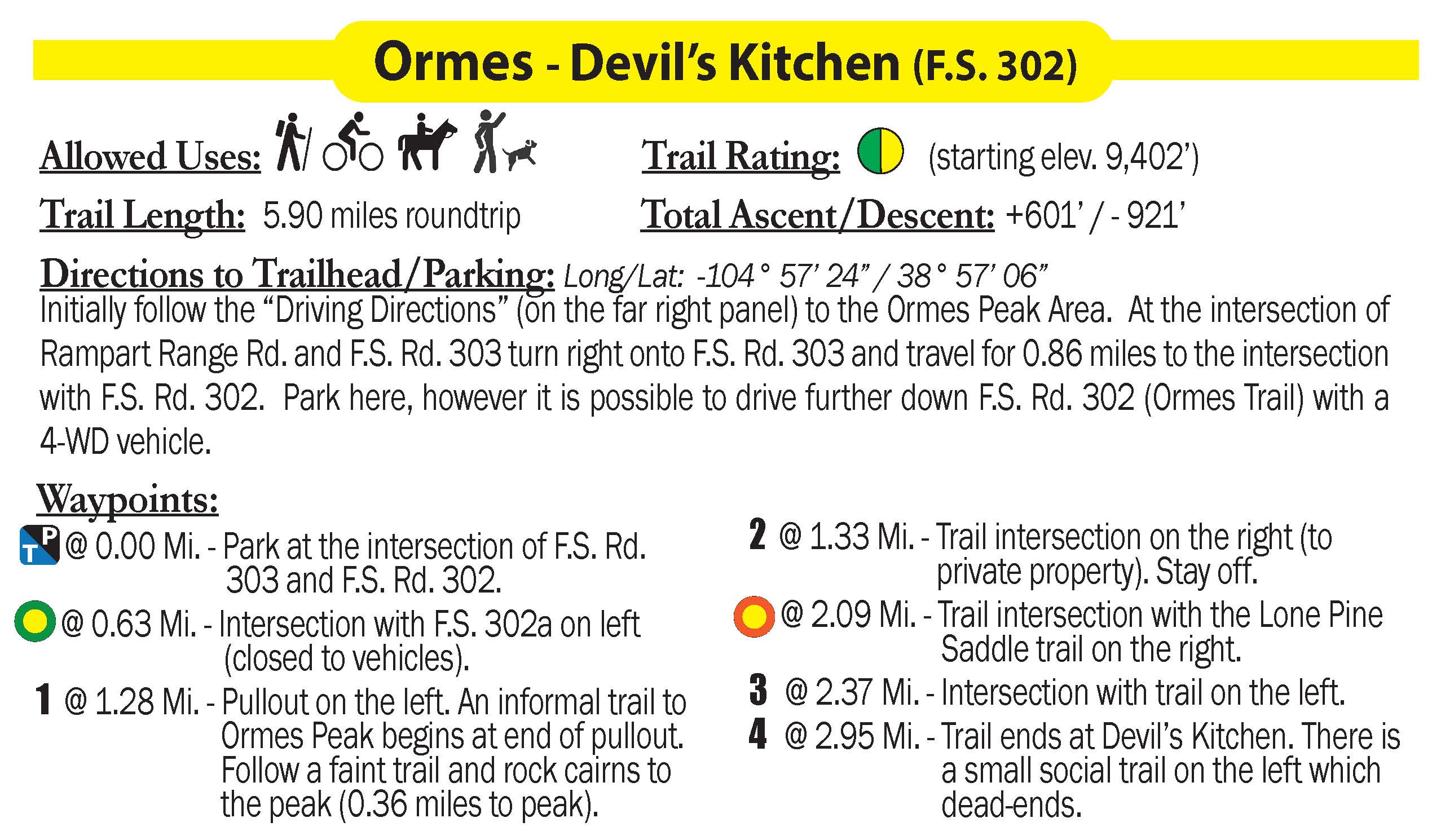
- Ormes (Devil's Kitchen)
- Queens Canyon
- Trail 302a
Available formats include:
Paper Map – Pocket-sized, waterproof, tear-resistant, durable, and easy to carry on the trail.
Digital Map for the Pocket Pals Map Viewer – Designed for offline use after download, with the ability to view your current location on the map when using your phone’s location services.
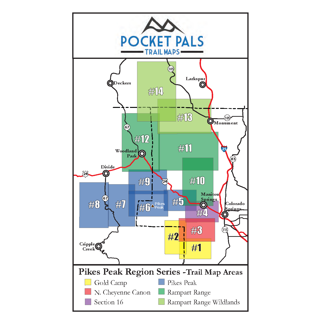
To see an overview map of our Pikes Peak Region Series, CLICK HERE
To learn more about our digital maps and the Pocket Pals MapViewer, CLICK HERE.
Pocket Pals Trail Maps
Small, Pocket-Sized Maps for Big Colorado Adventures
