
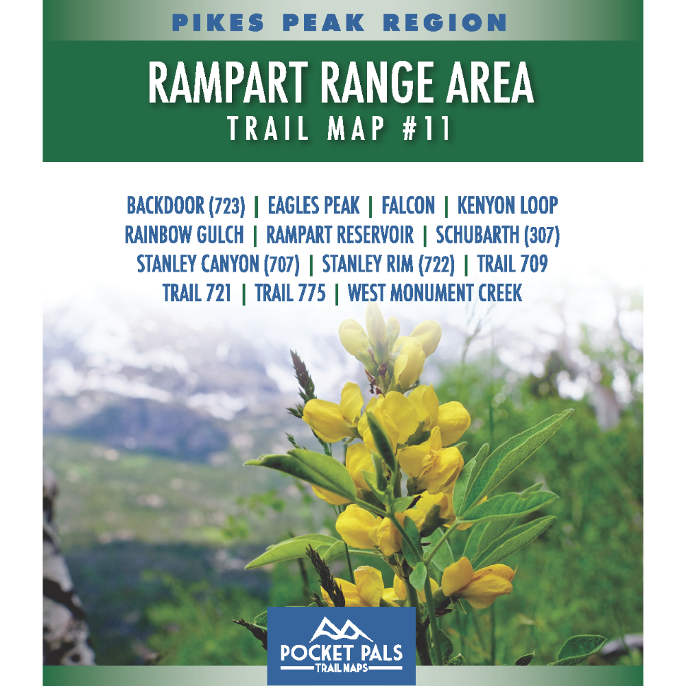


Rampart Range Area Trail Map - Pikes Peak Region, Map #11
Explore trails in the Rampart Range northwest of Colorado Springs, near the U.S. Air Force Academy. This map covers trails located on USAFA property, as well as routes in the Pike National Forest directly west of the Academy.
The area features a mix of forested trails, mountain terrain, scenic overlooks, and connections to the broader Rampart Range trail system. It is well suited for hikers, mountain bikers, trail runners, equestrians, and other outdoor recreation users who want to explore the foothills and national forest lands north and west of Colorado Springs.
Access to trails on U.S. Air Force Academy property may be restricted or subject to security requirements. Always check the Academy’s current visitation and access policies before your trip.
Map #11: Rampart Range Area includes the trails listed below. Click any underlined trail name to learn more about that trail.
- Backdoor (723)
- Eagles Peak
- Falcon
- Kenyon Loop
- Rainbow Gulch
- Rampart Reservoir
- Schubarth (Trail 307)
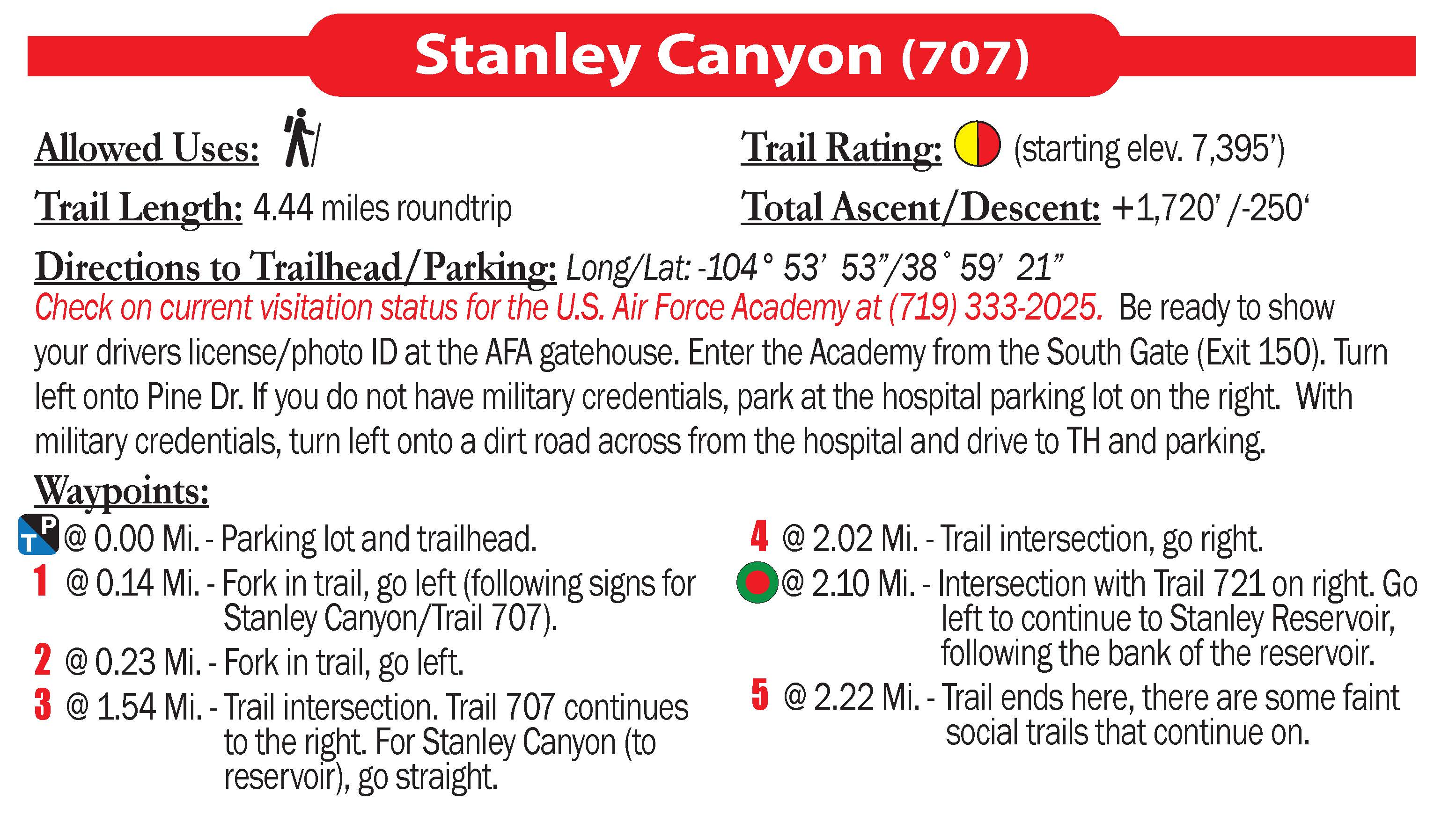
- Stanley Canyon (707)
- Stanley Rim (Trail 722)
- Trail 709
- Trail 721
- Trail 775
- W. Monument Creek
Available formats include:
Paper Map – Pocket-sized, waterproof, tear-resistant, durable, and easy to carry on the trail.
Digital Map for the Pocket Pals Map Viewer – Designed for offline use after download, with the ability to view your current location on the map when using your phone’s location services.
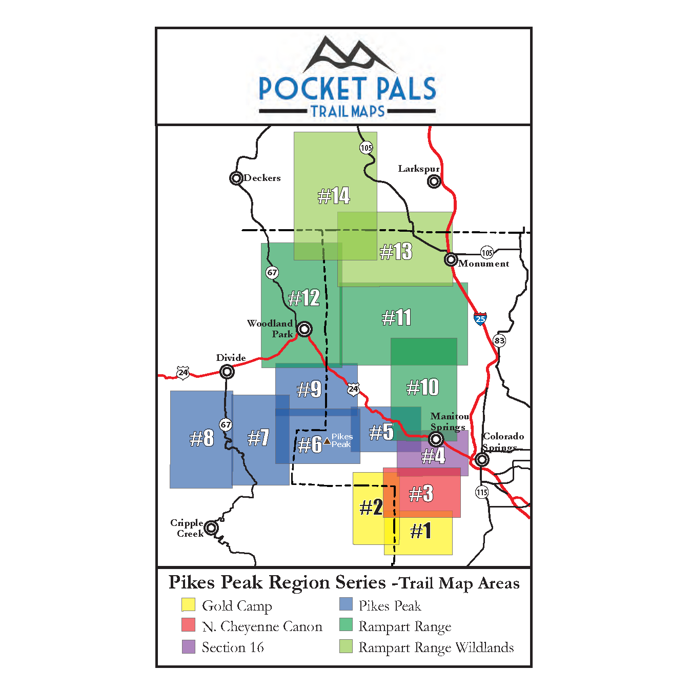
To see an overview map of our Pikes Peak Region series, CLICK HERE.
To learn more about our digital maps and the Pocket Pals MapViewer, CLICK HERE.
