

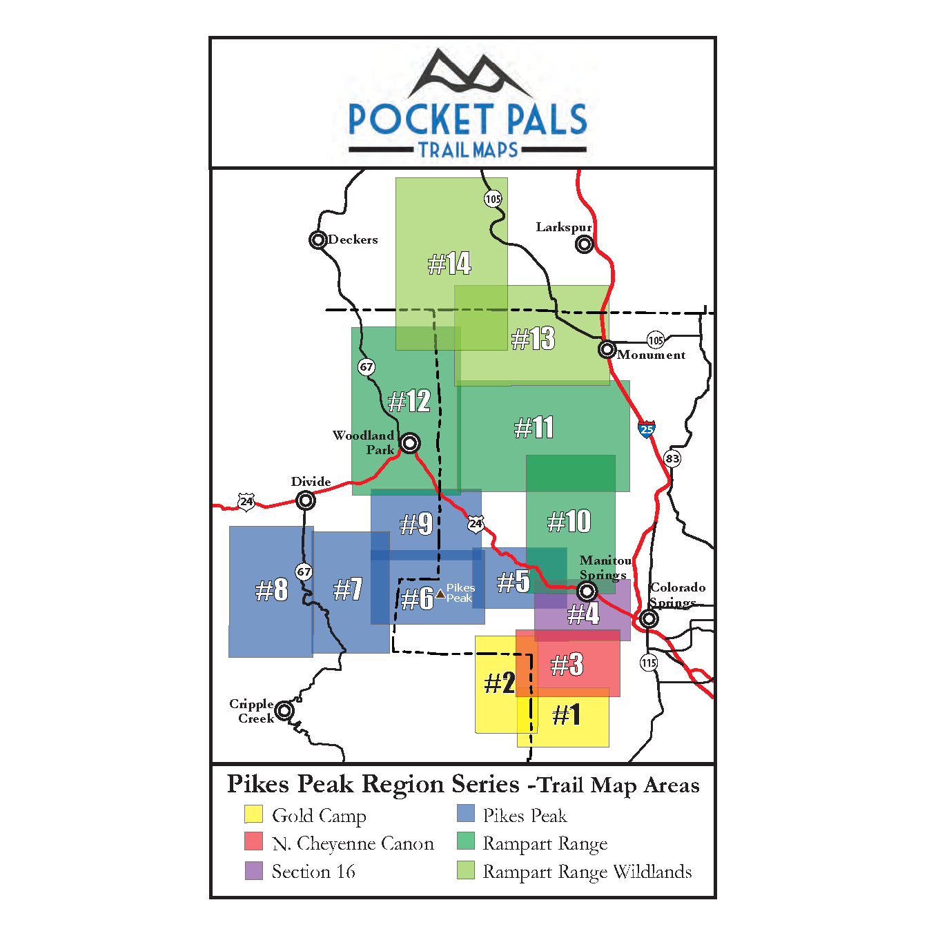


Pikes Peak Area Trail Map - Pikes Peak Region, Map #8
Map #8 in the Pikes Peak Region series provides detailed trail information for Mueller State Park and Dome Rock State Wildlife Area.
Located south of Woodland Park and Divide along Colorado Highway 67, these scenic recreation areas offer an extensive network of trails on the western side of Pikes Peak. This map is especially useful for hikers, mountain bikers, horseback riders, trail runners, wildlife watchers, and other visitors exploring the area’s forests, meadows, rock formations, and mountain scenery.
- Dome Rock State Wildlife Area (SWA) - 16 Trails
- Mueller State Park - 34 Trails (click for more details)
Available formats include:
Paper Map – Pocket-sized, waterproof, tear-resistant, durable, and easy to carry on the trail.
Digital Map for the Pocket Pals Map Viewer – Designed for offline use after download, with the ability to view your current location on the map when using your phone’s location services.
To see an overview map for our Pikes Peak Region series, CLICK HERE.
To learn more about our digital maps and the Pocket Pals MapViewer, CLICK HERE.
