


Rampart Range Wildlands Area Trail Map - Pikes Peak Region, Map #14
Explore the Pike National Forest northwest of Monument, Colorado, and west of Larkspur with Pocket Pals Trail Map #14. The trails shown on this map are located near Perry Park, where forested ridges, rocky terrain, and quiet backcountry routes offer a more remote outdoor experience than many trails closer to Colorado Springs or Denver.
This map is especially useful for hikers, mountain bikers, trail runners, equestrians, and other backcountry visitors who want a detailed view of the area’s trails, forest roads, access points, and surrounding terrain. Because routes in this part of the Pike National Forest can intersect with numerous roads and lesser-traveled trails, carrying a detailed map can help users plan their route, recognize important junctions, and remain oriented while exploring.
Whether you are planning a day hike, a longer trail ride, or a backcountry outing near Perry Park and Larkspur, Map #14 provides the trail detail and geographic context needed to explore this scenic portion of the northern Pikes Peak Region with greater confidence.
Please note: it is recommended that you have a high-clearance or 4WD vehicle to access all of the trailheads on this map.
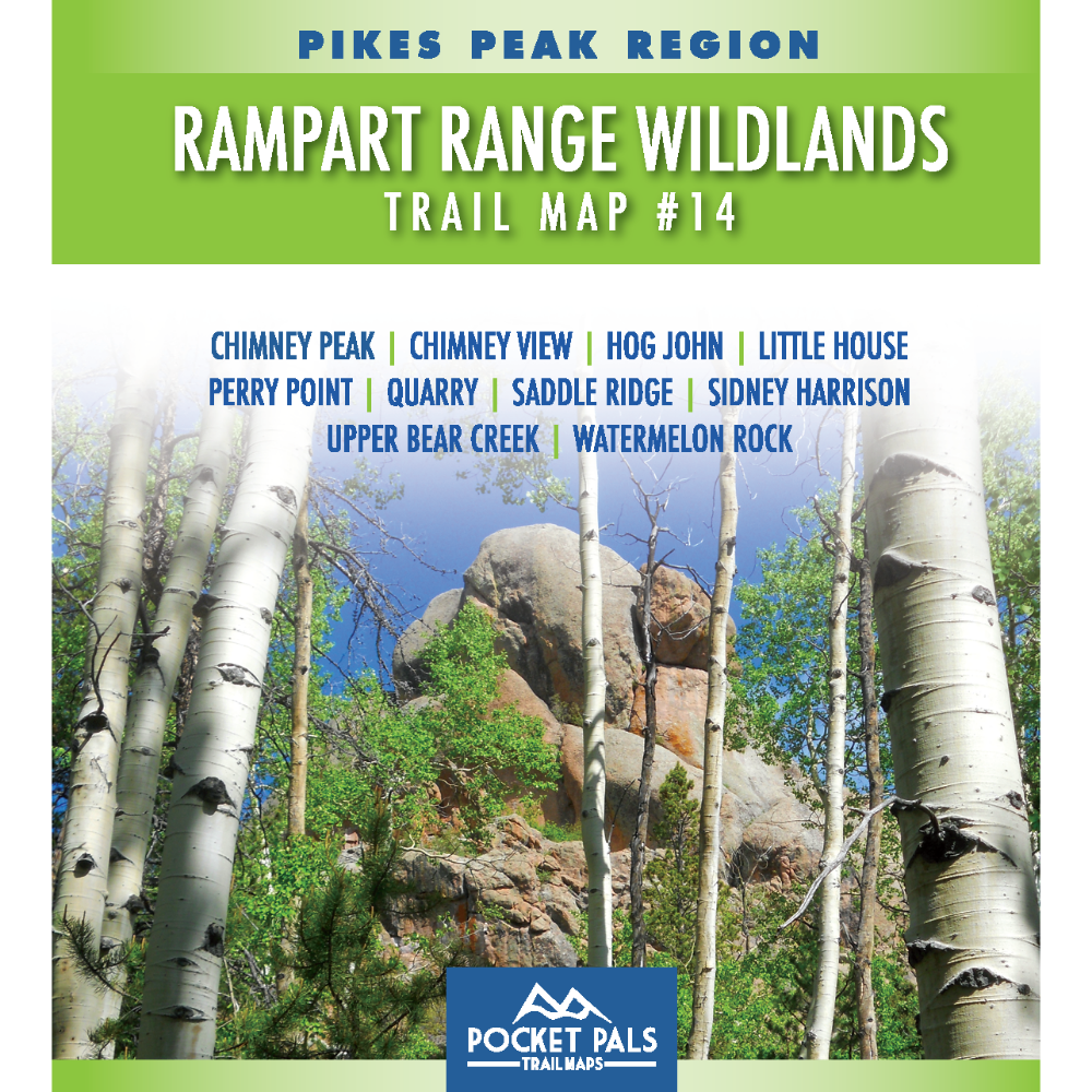
Map #14: Rampart Range Wildlands Area includes the trails listed below. Click any underlined trail name to learn more about that trail.
- Chimney Rock
- Chimney View
- Hog John
- Little House
- Perry Point
- Quarry
- Saddle Ridge
- Sidney Harrison
- Upper Bear Creek
- Watermelon Rock
Available formats include:
Paper Map – Pocket-sized, waterproof, tear-resistant, durable, and easy to carry on the trail.
Digital Map for the Pocket Pals Map Viewer – Designed for offline use after download, with the ability to view your current location on the map when using your phone’s location services.
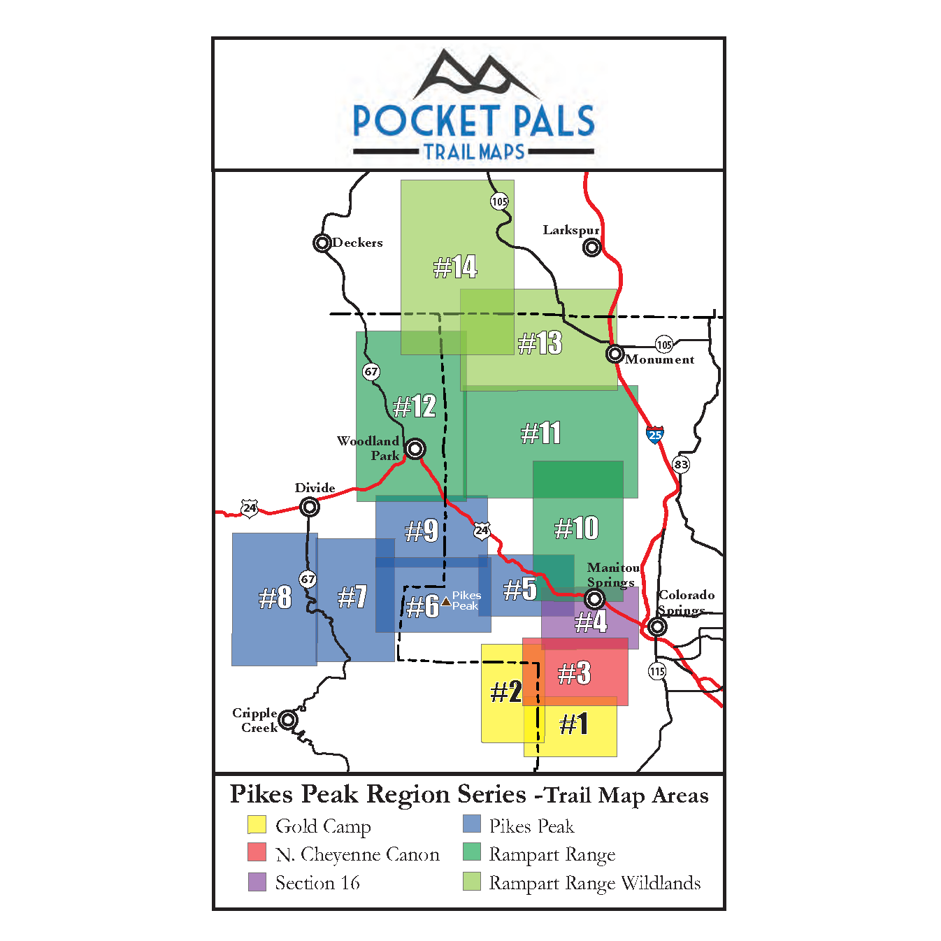
To see an overview map of our Pikes Peak Region series, CLICK HERE.
To learn more about our digital maps and Pocket Pals MapViewer, CLICK HERE.
