
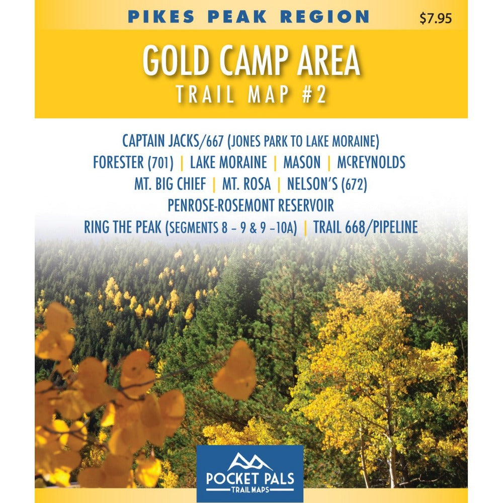


Gold Camp Area Trail Map - Pikes Peak Region, Map #2
The Gold Camp Area Map #2 covers trails southwest of Colorado Springs, Colorado, in the Pike National Forest. Most of the trails are located in Teller County, with portions of some trails extending into El Paso County. This map is designed for hikers, mountain bikers, trail runners, horseback riders, and other outdoor users exploring the forested foothills and backcountry trails west of Colorado Springs.
Please note that it is recommended to have a 4WD, high-clearance vehicle for F.S. Rd. 379, which is approximately 1.25 miles long. The Ring the Peak Trail (Trail 668 & FS 379), Nelson's, Mt. Rosa, and Forester (Trail 710) all utilize this road to access their trailheads.
Map #2: Gold Camp Area includes the trails listed below. Click any underlined trail name to learn more about that trail.
- Captain Jack's (667) - Jones Park to Lake Moraine
- Forester (Trail 701)
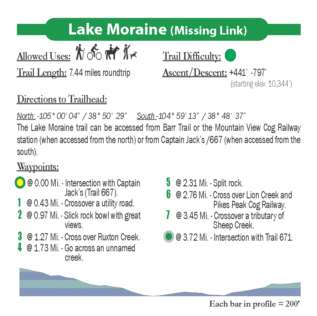
- Lake Moraine (aka Missing Link)
- Mason Reservoir (South Slope Recreation Area)
- McReynolds Reservoir (South Slope Recreation Area)
- Mt. Big Chief
- Mt. Rosa
- Nelson's (672)
- Penrose-Rosemont Reservoir
- Ring the Peak (Segments 8-9 & 9-10)
- Trail 668/Pipeline
Available formats include:
Paper Map – Pocket-sized, waterproof, tear-resistant, durable, and easy to carry on the trail.
Digital Map for the Pocket Pals Map Viewer – Designed for offline use after download, with the ability to view your current location on the map when using your phone’s location services.
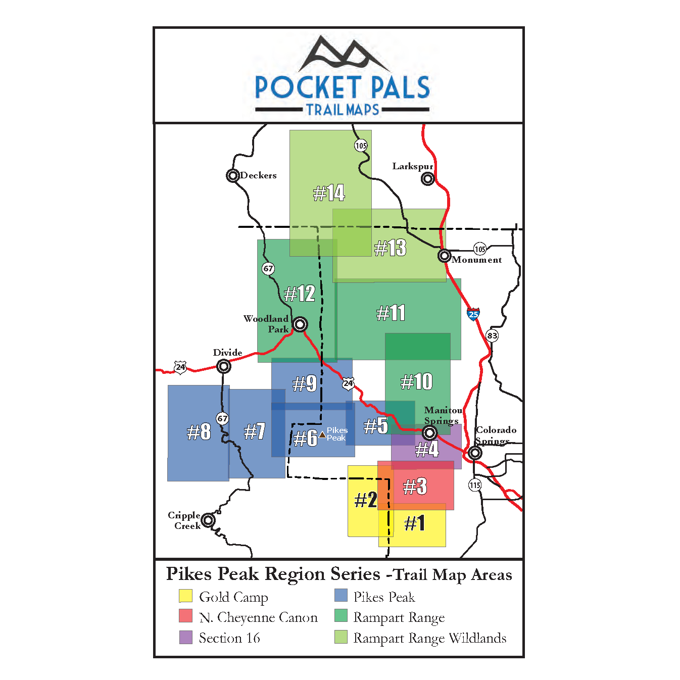
To see an overview map of our Pikes Peak Region series, CLICK HERE.
To learn more about our digital maps and the Pocket Pals MapViewer, CLICK HERE.
