Barr Camp Trail to the Summit of Pikes Peak (Info, Photos, Reviews and Videos)
Pikes Peak is one of 58 mountains in Colorado over 14,000 feet. Barr Trail (Trail 620) is located just west of Manitou Springs, Colorado and is one of the standard routes used to summit Pikes Peak.
In 1914, Fred Barr and his father began work on a trail that started at the top of Mt. Manitou, above Manitou Springs, and would eventually lead to the summit of Pikes Peak. Without any outside financial support, Barr spent three summers and $10,000 of his own money developing the trail. In December 1918, Barr laid the last set of rocks designating the end of the trail. Later named Barr Trail, in his honor, it was the first trail constructed on the east face of Pikes Peak. The entire trail is 11.4 miles long and has an elevation gain of 7,454 feet.
Barr Camp, which Fred Barr also constructed, is located 5.85 miles from the lower trailhead. It was first used as a rest stop for burro trips which Barr later led to the summit. Barr Camp is now a rest stop for hikers who choose to camp overnight before continuing up to the summit of Pikes Peak.
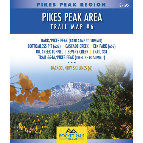
Barr Trail is on POCKET PALS Trail Map #5 and #6 in the Pikes Peak Region series.
The other trails included on Map #5 include Bob's Road, Heizer, Longs Ranch Road, Manitou Incline, Ring the Peak (Segment 1), Trail 329, Trail 638, Trail 671, Trail 703, Trail 706, Ute Indian, and Water Pipe.
The other trails included on Map #6 include Bottomless Pit, Cascade Creek, Elk Park (Trail 652), Oil Creek Tunnel, Pikes Peak/Trail 664A (Treeline to Summit), Severy Creek, Trail 331.
All Pocket Pals Trail Maps offer very detailed information for each trail including: trail distances, allowed trail uses, difficulty levels, elevation profiles, total ascent/descent, directions to trailhead, trailhead longitude and latitude, and waypoints (landmarks along each trail).


