


North Cheyenne Canon Area Trail Map - Pikes Peak Region, Map #3
North Cheyenne Cañon Park is a scenic mountain park on the southwest side of Colorado Springs, known for its forested canyon, red rock cliffs, waterfalls, creekside scenery, and extensive hiking and biking trails.
Popular highlights include Helen Hunt Falls, Starsmore Visitor and Nature Center, the scenic canyon drive, and trail access to a wide variety of trails. It is one of Colorado Springs’ classic foothills parks, offering a quick transition from the city into rugged mountain terrain.
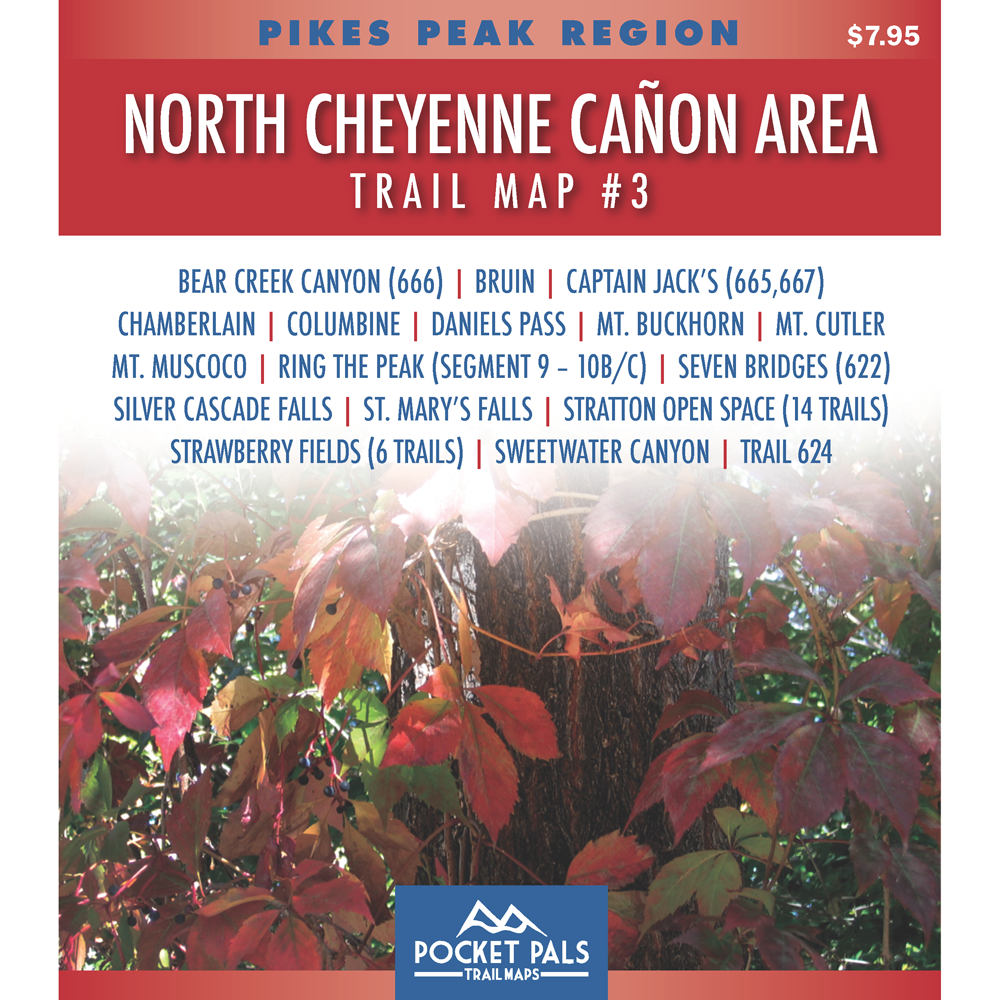
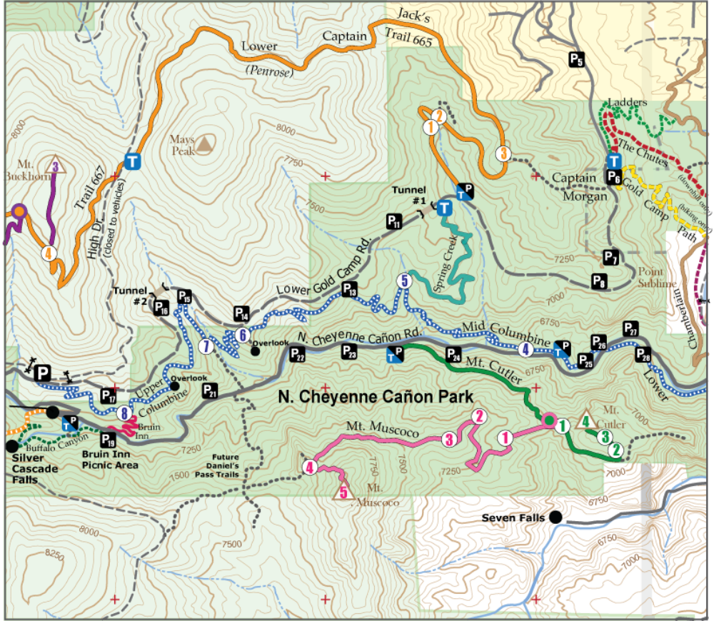
Map #3: North Cheyenne Canon Area includes the trails listed below. Click any underlined trail name to learn more about that trail.
-
Bear Creek Canyon (666)
- Bruin
-
Captain Jack's (665 & 667) Gold Camp Rd. to Jones Park
- Chamberlain
- Columbine
- Ring the Peak (RTP) - Segment 9-10B/C
-
Spring Creek
- Stratton Open Space (12 trails, including Chamberlain)
- Sweetwater Canyon
- Trail 624
This map is best for hikers, trail runners, mountain bikers where permitted, and general outdoor users exploring the Pike National Forest trails near Colorado Springs.
Available formats include:
Paper Map – Pocket-sized, waterproof, tear-resistant, durable, and easy to carry on the trail.
Digital Map for the Pocket Pals Map Viewer – Designed for offline use after download, with the ability to view your current location on the map when using your phone’s location services.
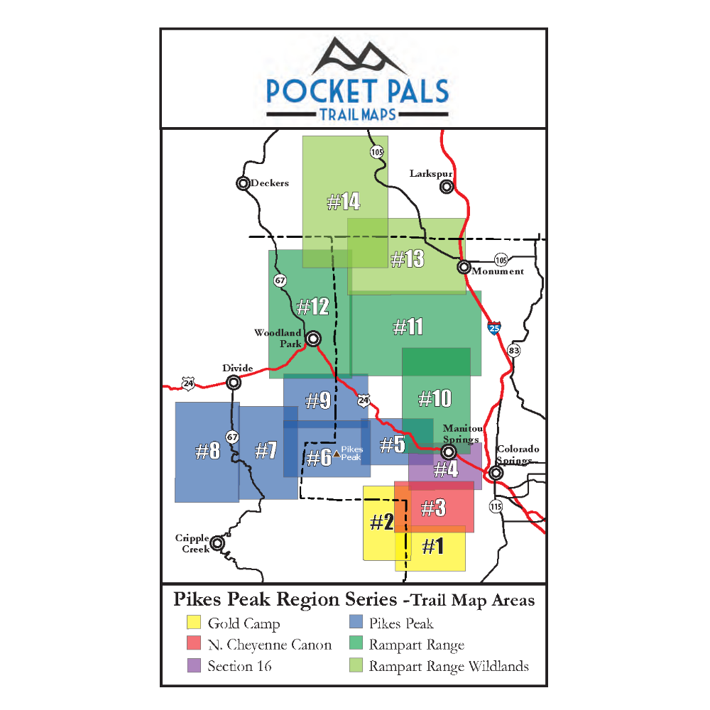
To see an overview map of our Pikes Peak Region series, CLICK HERE.
To learn more about our digital maps and the Pocket Pals MapViewer, CLICK HERE.
