
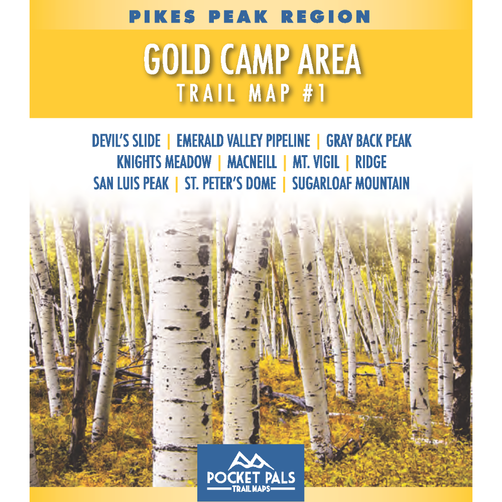


Gold Camp Area Trail Map – Pikes Peak Region Map #1
This Colorado trail map covers the Gold Camp Area southwest of Colorado Springs, Colorado, with trails located in the Pike National Forest. It is part of the Pocket Pals Pikes Peak Region trail map series and is designed for outdoor users who want a clear, trail-focused map that is easy to carry and use on the trail.
Map #1: Gold Camp Area includes the trails listed below. Click any underlined trail name to learn more about that trail.
-
Devil's Slide
-
Emerald Valley Pipeline
-
Gray Back Peak
-
Knights Meadow
-
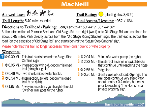
MacNeill
-
Mt. Vigil
-
Ridge
-
San Luis Peak
-
St. Peter's Dome
-
Sugarloaf Mountain
This map is best for hikers, trail runners, mountain bikers where permitted, and general outdoor users exploring Pike National Forest trails near Colorado Springs.
Available formats include:
Paper Map – Pocket-sized, waterproof, tear-resistant, durable, and easy to carry on the trail.
Digital Map for the Pocket Pals Map Viewer – Designed for offline use after download, with the ability to view your current location on the map when using your phone’s location services.
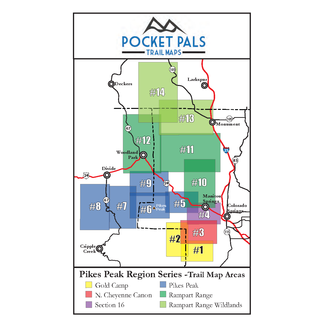
To see an overview map of our Pikes Peak Region series, CLICK HERE.
To learn more about our digital maps and the Pocket Pals MapViewer, CLICK HERE.
Pocket Pals Trail Maps - Colorado Trail and Recreation Maps
