


Pikes Peak Area Trail Map - Pikes Peak Region, Map #6
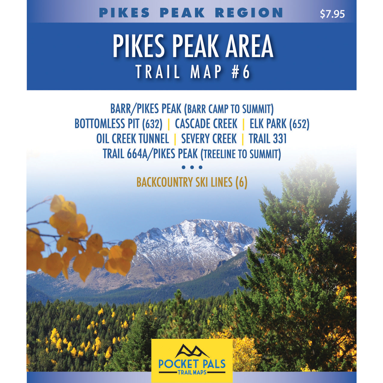
Explore the trails surrounding the summit of Pikes Peak with Map #6 in the Pocket Pals Pikes Peak Region series.
This map covers the upper portion of Barr Trail from Barr Camp to the 14,115-foot summit, along with nearby high-elevation trails on Pikes Peak.
All trails shown on this map are located within Pike National Forest. Map #6 is a useful choice for hikers, bikers, trail runners, etc., who are planning to travel above Barr Camp, explore the summit area, or complete the upper section of the Barr Trail route.
If you plan to explore the higher elevations of Pikes Peak, including the upper half of Barr Trail from Barr Camp to the summit, Trail Map #6 is your best map option.
If your main goal is to hike to the summit of Pikes Peak and you want coverage of the complete route, the Pikes Peak Fourteener Map may be the better choice. Click here to learn more about the Pikes Peak Fourteener Map.
This map also identifies six backcountry ski routes accessible from the Pikes Peak Highway: The Bowl, also known as Big Blue; The Chimney; Cornice Bowl; Little Italy; the former Pikes Peak Ski Area; and the Middle Fork of the Y Couloir.
Map #6: Gold Camp Area includes the trails listed below. Click any underlined trail name to learn more about that trail.
- Bottomless Pit
- Cascade Creek
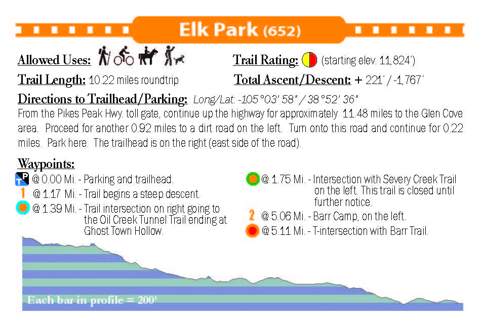
- Elk Park (Trail 652)
- Oil Creek Tunnel
- Pikes Peak via Barr Trail (Barr Camp to Summit)
- Pikes Peak via Devil's Playground-Trail 753 (Treeline to Summit)
- Severy Creek (currently closed)
- Trail 331
Available formats include:
Paper Map – Pocket-sized, waterproof, tear-resistant, durable, and easy to carry on the trail.
Digital Map for the Pocket Pals Map Viewer – Designed for offline use after download, with the ability to view your current location on the map when using your phone’s location services.
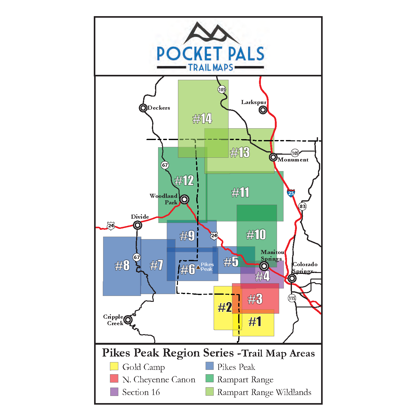
To see an overview map of our Pikes Peak Region series, CLICK HERE.
To learn more about our digital maps and the Pocket Pals Map Viewer, CLICK HERE.
