



Pikes Peak Area Trail Map - Pikes Peak Region, Map #9
Map #9 in the Pikes Peak Region series covers trails on the north slope of Pikes Peak, with access from the Pikes Peak Highway, Green Mountain Falls, and Chipita Park.
Most of the mapped trails are located within the Pike National Forest or the North Slope Recreation Area.
This trail map is especially useful for hikers, mountain bikers, trail runners, anglers, wildlife watchers, and other outdoor users exploring the forests, reservoirs, mountain valleys, and scenic terrain on the north side of Pikes Peak.
Map#9: Pikes Peak Area includes the trails listed below. Click on any underlined trail name to learn more about this trail.
- Blue River (North Slope Recreation Area)
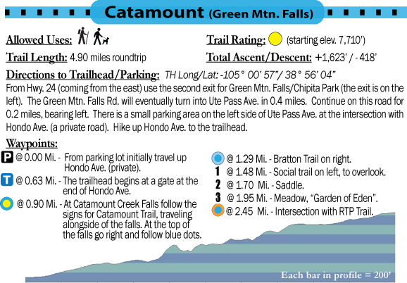
- Catamount
- Crystal
- Felton Thomas
- Limber Pine (North Slope Recreation Area)
- Mt. Esther
- Mule Deer (North Slope Recreation Area)
- Ridge
- Ring the Peak (Segments 2,3,4)
- S. Catamount Creek
Available formats include:
Paper Map – Pocket-sized, waterproof, tear-resistant, durable, and easy to carry on the trail.
Digital Map for the Pocket Pals Map Viewer – Designed for offline use after download, with the ability to view your current location on the map when using your phone’s location services.
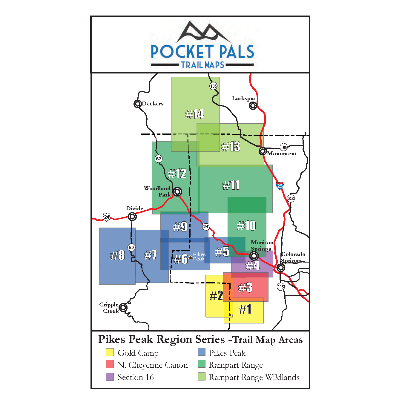
To see an overview map of our Pikes Peak Region series, CLICK HERE.
To learn more about our digital maps and the Pocket Pals MapViewer, CLICK HERE.
