
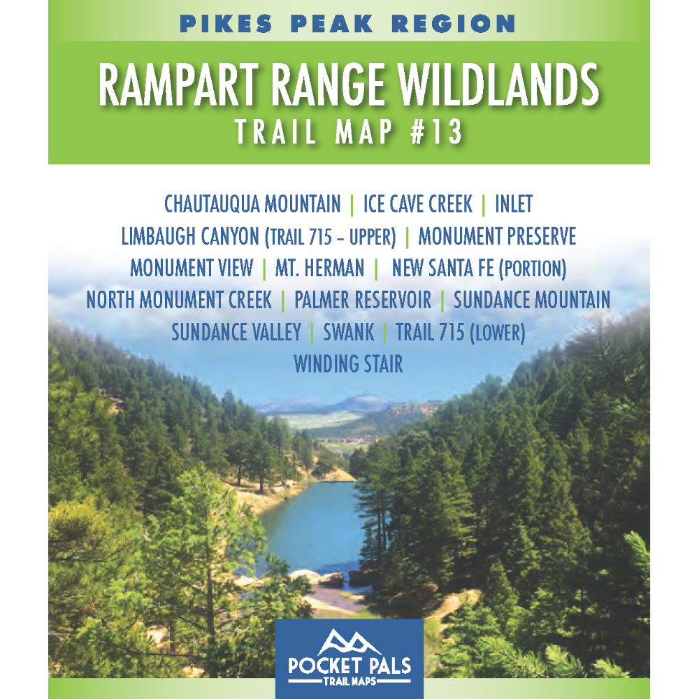


Rampart Range Wildlands Area Trail Map - Pikes Peak Region, Map #13
Explore the forested foothills and rugged backcountry west of Monument, Colorado, with Trail Map #13 of the Pikes Peak Region series.
This map covers trails within the Rampart Range Wildlands Area and surrounding portions of the Pike National Forest, where visitors can enjoy pine-covered ridges, rocky terrain, quiet forest corridors, and scenic views of the Front Range.
Trail Map #13 is especially useful for hikers, trail runners, mountain bikers, equestrians, and other outdoor recreationists looking to explore the extensive trail network near Monument. It is also a valuable resource for anyone seeking less-crowded routes, longer backcountry outings, or connections between trails and forest roads throughout the Rampart Range.
Map #13: Rampart Range Wildlands Area includes the trails listed below. Click on any underlined trail name to learn more about that trail.
- Chautauqua Mountain
- Ice Cave Creek
- Inlet
- Limbaugh Canyon - Trail 715 (upper)
- Monument View
- Mt. Herman
- New Santa Fe (portion)
- North Monument Creek
- Palmer Reservoir
- Sundance Mountain
- Sundance Valley
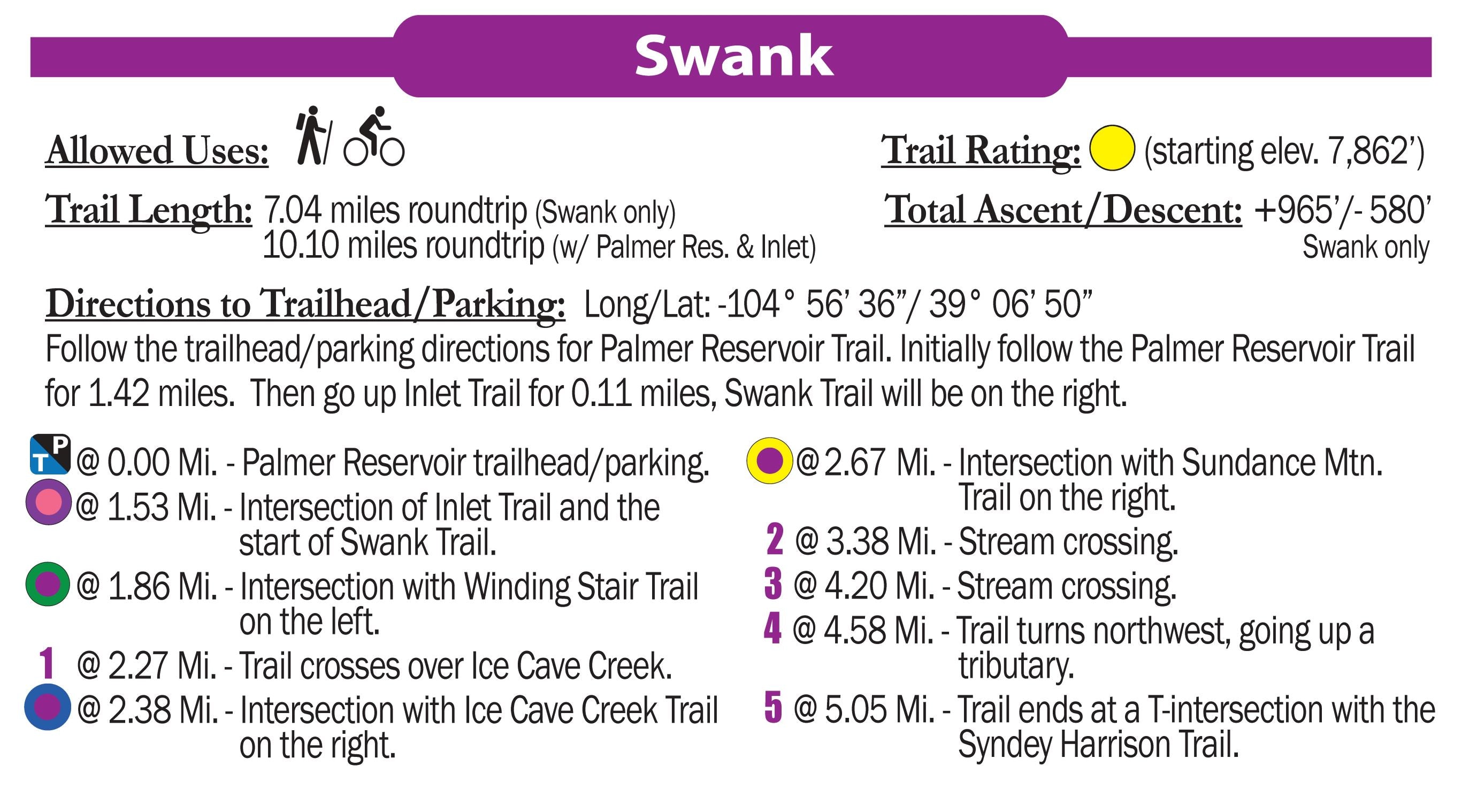
- Swank
- Trail 715 (lower)
- Winding Stair
Available formats include:
Paper Map – Pocket-sized, waterproof, tear-resistant, durable, and easy to carry on the trail.
Digital Map for the Pocket Pals Map Viewer – Designed for offline use after download, with the ability to view your current location on the map when using your phone’s location services.
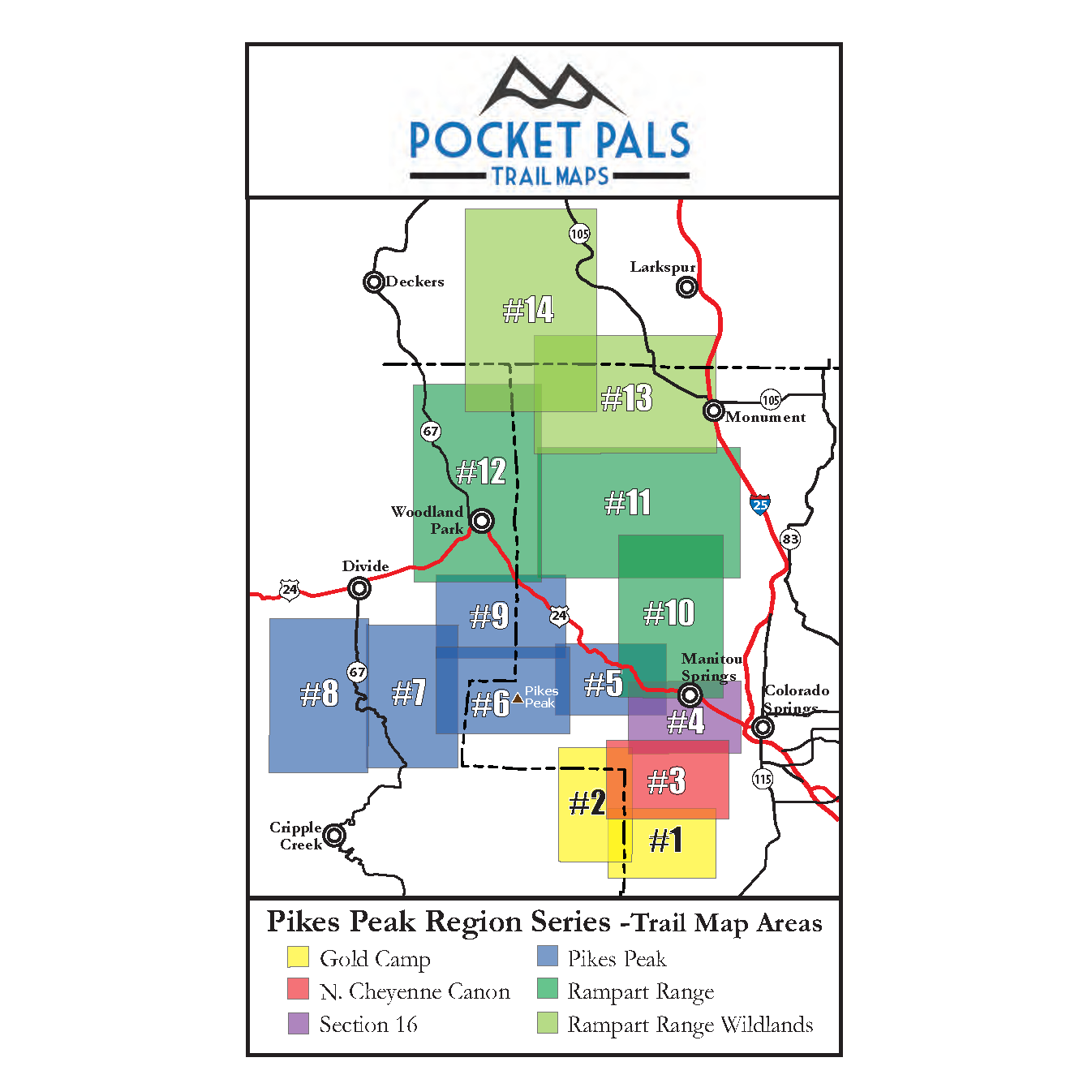
To see an overview map of our Pikes Peak Region series, CLICK HERE.
To learn more about our digital maps and the Pocket Pals MapViewer, CLICK HERE.
